WHEN in the course of human Events, it becomes necessary….
The Dymaxion Map | A “satisfactory deck plan of the six and one half sextillion tons Spaceship Earth.”
byVanderleunonJuly 19, 2017
The Fuller Projection Map is the only flat map of the entire surface of the Earth which reveals our planet as one island in one ocean, without any visually obvious distortion of the relative shapes and sizes of the land areas, and without splitting any continents. It was developed by R. Buckminster Fuller who “By 1954, after working on the map for several decades,” finally realized a “satisfactory deck plan of the six and one half sextillion tons Spaceship Earth.” The Buckminster Fuller Institute
Real World Address for Donations, Mash Notes and Hate Mail
Gerard Van der Leun
1692 MANGROVE AVE
APT 379
Chico, Ca 95926
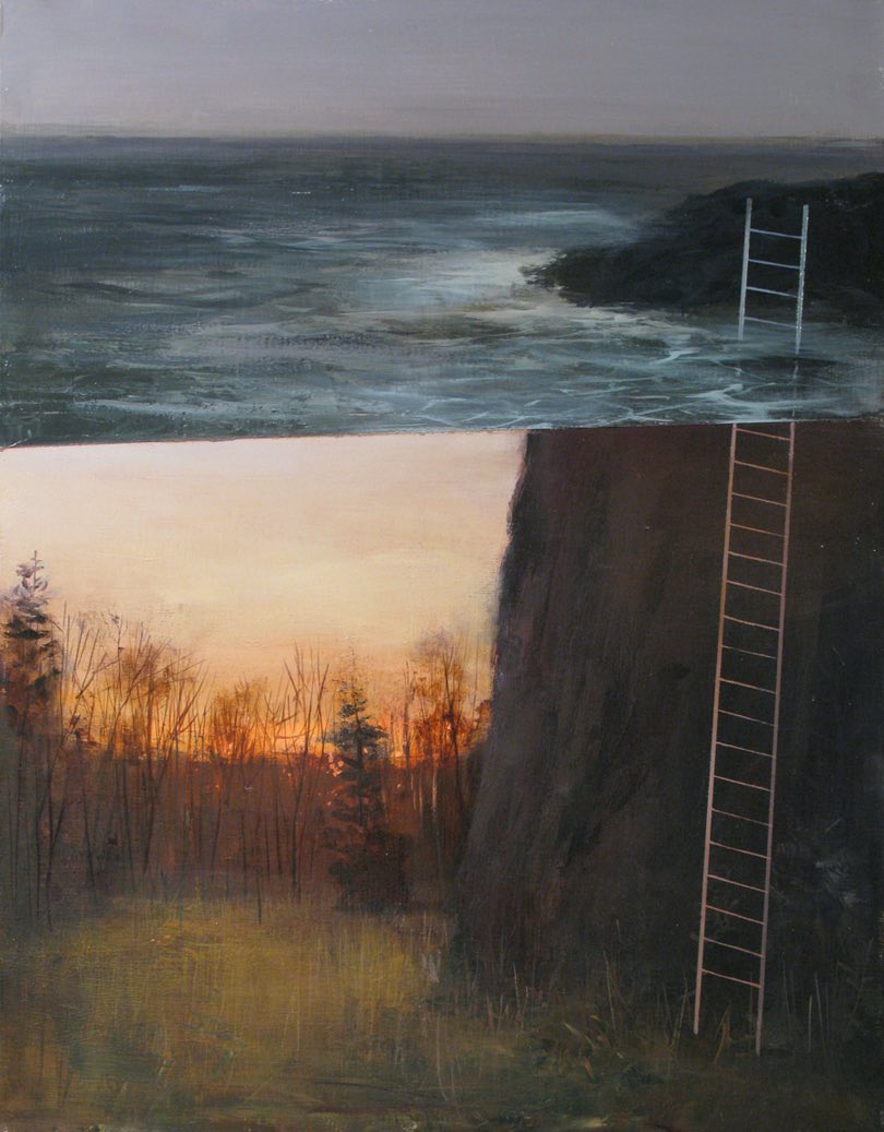
Green Pants Interior by Klahn
Who Am I? by Carl Sandburg
My head knocks against the stars.
My feet are on the hilltops.
My finger-tips are in the valleys and shores of universal life.
Down in the sounding foam of primal things I reach my hands and play with pebbles of destiny.
I have been to hell and back many times.
I know all about heaven, for I have talked with God.
I dabble in the blood and guts of the terrible.
I know the passionate seizure of beauty
And the marvelous rebellion of man at all signs reading “Keep Off.”
My name is Truth and I am the most elusive captive in the universe.
Duty, Beauty, Liberty, Country, Honor, Family, Faith — Plus a few simple easy to follow rules for guys
Men saw the stars at the edge of the sea
They thought great thoughts about liberty
Poets wrote down words that did fit
Writers wrote books
Thinkers thought about it
Take it where you find it
Can’t leave it alone
You will find a purpose
To carry it on
Mainly when you find it
Your heart will be strong
About it
Many’s the road I have walked upon
Many’s the hour between dusk and dawn
Many’s the time
Many’s the mile
I see it all now
Through the eyes of a child
Take it where you find it
Can’t leave it alone
You will find a purpose
To carry it on
Mainly when you find it
Your heart will be strong
About it
[Chorus]
Lost dreams and found dreams
In America
In America
In America
Lost dreams and found dreams
In America
In America
In America
And close your eyes
Leave it all for a while
Leave the world
And your worries behind
You will build on whatever is real
And wake up each day
To a new waking dream
Take it where you find it
Can’t leave it alone
You will find a purpose
To carry it on
Mainly when you find it
Your heart will be strong
About it
[Chorus]
Change, change come over
Change come over
Talkin’ about a change
Change, change
Change come over, now
Change, change, change come over
I’m gonna walk down the street
Until I see
My shining light
I’m gonna walk down the street
Until I see
My shining light
I’m gonna walk down the street
Until I see
My shining light
I’m gonna walk down the street
Until I see
My shining light
I see my light
See my light
See my shining light
I see my light
See my light
See my shining light


 Started This War by Karl Denninger @ Market Ticker (full post)")


 Gerard Van der Leun


Comments on this entry are closed.
It’s an eye-opener when you make actual size comparisons. Love maps.