

From Art of the Farmland @ Lisa Wood Photography |Lisa Wood Photography More if you....


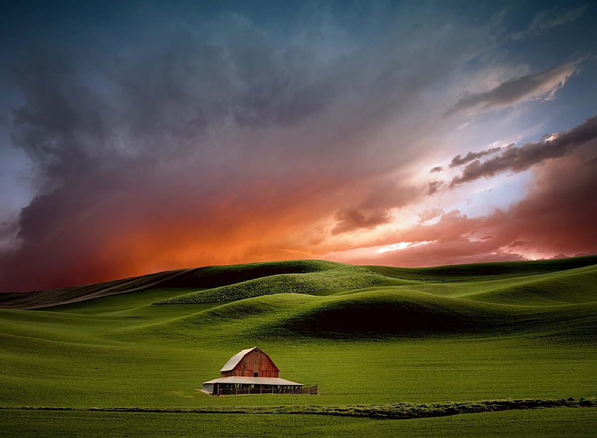
This is the Palouse, a large area of water-scoured hills that were created in the great flood of the breaking of the ice dam of Lake Missoula (which, for perspective, covered western Montana.) This is the flood which cut the Columbia River Gorge in less than a day, and which turned much of eastern Washington into the very image of a sand table. The floods then dropped a massive silt load as they ebbed and receded, leaving rich soil on unlevel ground; volcanic eruptions in the area only added to the soil's richness.
Unlike western Washington, the eastern side does not get rains in great quantity, though it does not have a five-month dry season like its distant neighbor to the south, California. The invention of watering platforms on pivot points with great wheels was all but invented for such terrain, and crops that need more water than the dry side provides will appear as dots on the landscape to an airborne traveler, though the dots will not appear as an even grid the same way they do in the heartland, and the occasional dot will have a slice taken out due to an insurmountable obstacle such as a basalt outcropping.
The land is what it is and makes no apologies, but stretches out with impossibly close endless vistas, interrupted by hills both smaller and more massive than they should be. The landscape plays its muted symphony of its limited palette to the utmost, and one should choose one's traveling music accordingly.
Posted by: B. Durbin at December 28, 2013 9:01 PM
HOME